Loading...

About Us

About Us

At Maptech Geospatial Data Services FZ-LLC, we are dedicated to providing innovative geospatial solutions. Our mission is to help businesses and organizations leverage geospatial data for smarter decision-making

Geospatial Consulting

Our consultancy services focus on leveraging cutting-edge geospatial technology to deliver accurate, reliable, and actionable data. This empowers businesses to enhance their management practices and achieve sustainable growth.

Year Of Expertise

With years of expertise in the collection and analysis of geo-referenced data, we support resource management, decision making, and project design. Our comprehensive geospatial data services ensure that our clients have the precise information they need to make informed decisions and successfully execute their projects.
Message and Manager’s Profile

Advaith Jayan is a passionate GIS Analyst with a Master’s degree in Geoinformatics and Earth Observation and a Bachelor’s in Civil Engineering. With extensive experience in geospatial analysis, mapping, and AutoCAD drawing services, Advaith has successfully led projects for various clients, including the Survey of India and local bodies in Kerala. Advaith’s expertise includes remote sensing, GIS, data analysis, and satellite image processing. He is dedicated to leveraging geospatial technology to solve real-world challenges and contribute to innovative projects. Advaith’s commitment to excellence and teamwork ensures that Maptech Geospatial Data Services FZ-LLC delivers high-quality solutions to its clients.

Advaith Jayan
Manager, Maptech Geospatial Data Services FZ-LLC

Message Senior Geophysicist

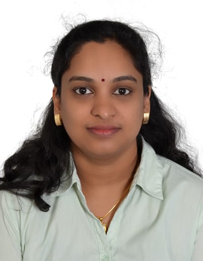
Mini Jayan is a Senior Geophysicist based in Abu Dhabi, UAE, with over 23 years of experience in ground investigation services. She has been instrumental in several highprofile projects, including the Al Wakarah Bypass in Doha, Qatar, the Mid Field Terminal Complex Airside Construction at Abu Dhabi Airport, Abu Dhabi Metro, and the Al Ain Oasis Development in Al Ain. Mini excels in the implementation and maintenance of ISO Quality Management Systems, and she is adept at processing and interpreting geophysical data, including resistivity and seismic data. She is proficient in preparing both factual and interpretative reports and is skilled in using MS Office, AutoCAD, GIS (ArcMap v.10-ESRI), and various geophysical software. Mini has also attended specialized courses in 3D Electrical Resistivity Tomography and Engineering Geophysics. She is fluent in English, Malayalam, and Hindi.

Mini Jayan
Senior Geophysicist based in Abu Dhabi, UAE

Message GIS Engineer

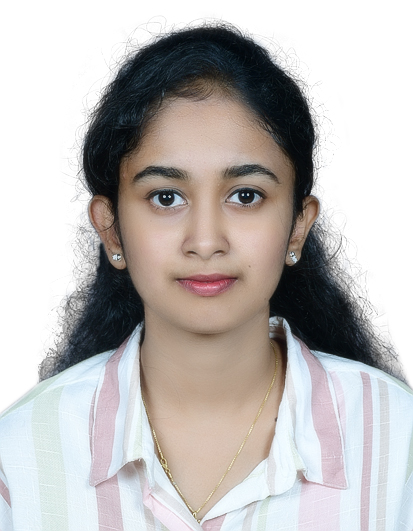
Malavi Sree SM is a dedicated GIS Engineer with a strong academic foundation and practical experience in geospatial data analysis and mapping. She has completed internships at Arcite Builders and Innovators in Kollam and Gaaya Realtech Ventures Pvt. Ltd in Thiruvananthapuram, where she excelled in conducting field visits for geospatial data collection, monitoring project progress, and preparing comprehensive geospatial documents. Malavi is proficient in various software including AutoCAD, STAAD Pro, Revit, Insight 360, Naviswork, Primavera, SketchUp, and Vray. She holds a Bachelor of Technology in Civil Engineering from APJ Abdul Kalam Technological University. Known for her excellent research, technical, and problem-solving skills, Malavi is quick to learn new concepts and is dedicated to delivering high-quality results. She is fluent in English and Malayalam and has earned several certifications, including CPD certifications in QA QC in Civil Engineering, Measurement and Cost Engineering, and Certified Construction Site Engineer, as well as Autodesk certificates for AutoCAD and Revit. Her expertise in collecting geospatial data and her commitment to excellence make her a valuable asset to our team, ensuring precise and reliable geospatial solutions for our clients.

Malavi Sree SM
GIS Engineer