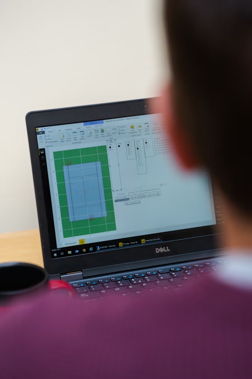
Digitizing Drone Images and Survey Data
Drone Image Processing: We process and analyze high-resolution drone images to
create accurate maps and models.
Survey Data Integration: We integrate survey data with GIS systems for enhanced
spatial analysis and decision-making.

